OUR SERVICES
Lorem ipsum dolor sit amet, consectetur adipiscing elit.
Lorem ipsum dolor sit amet, consectetur adipiscing elit.
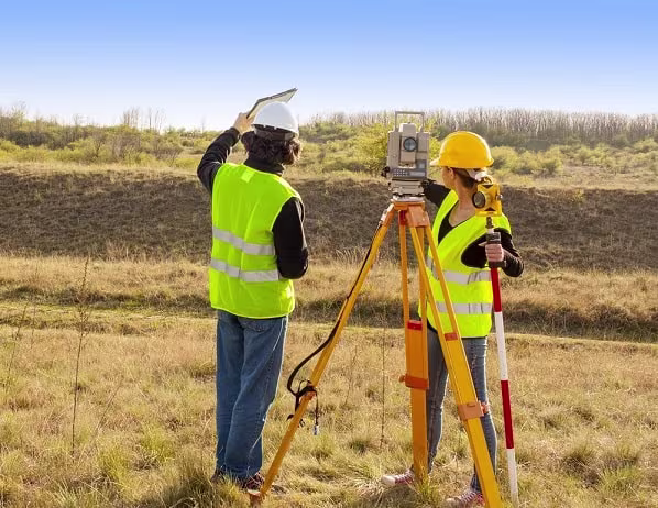
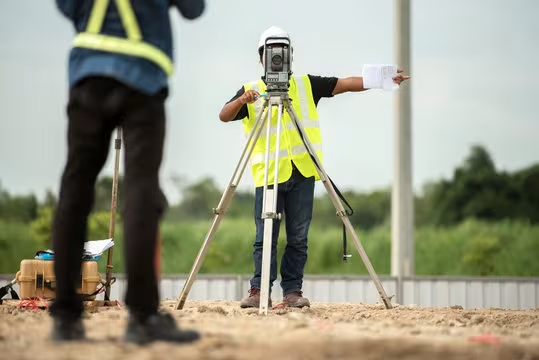
Land Survey
135
✓ Projects
Photogrammetry
67
✓ Projects
Web-GIS
72
✓ Projects
Profesional
Accurate measurement and mapping of land positions using tools like total stations or GNSS. Commonly used for construction planning, land ownership boundaries, or spatial development.
Profesional
A technique for creating maps or 3D models from aerial or drone imagery. Ideal for topographic mapping, mining volume calculations, or large-scale area documentation efficiently.
Profesional
A system used to manage, analyze, and visualize spatial data. Examples include mapping infrastructure, land zoning, or identifying flood-prone areas.